






Diese Website verwendet Cookies und ähnliche Technologien. Dabei handelt es sich um kleine Textdateien, die auf eurem Computer gespeichert und ausgelesen werden. Indem ihr auf "Alles akzeptieren" klickt, stimmt ihr der Verarbeitung von Daten, der Erstellung und Verarbeitung von individuellen Nutzungsprofilen über Websites und über Partner und Geräte hinweg sowie der Übermittlung eurer Daten an Drittanbieter zu, die eure Daten teilweise in Ländern außerhalb der Europäischen Union verarbeiten (GDPR Art. 49). Einzelheiten hierzu findet ihr in den Datenschutzhinweisen. Die Daten werden für Analysen und für eigene Zwecke Dritter verwendet. Weitere Informationen, auch über die Datenverarbeitung durch Drittanbieter und die Möglichkeit des Widerrufs, findet ihr in den Einstellungen und in unseren Datenschutzhinweisen. Hier könnt ihr mit den notwendigen Tools fortfahren.
- Verlag: Taylor & Francis
- Autor: Wilf Schofield
- Artikel-Nr.: KNV18040662
- ISBN: 9780750669498
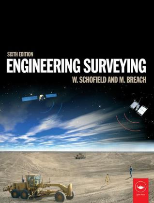
Engineering surveying involves determining the position of natural and man-made features on or beneath the Earth's surface and utilizing these features in the planning, design and construction of works. It is a critical part of any engineering project. Without an accurate understanding of the size, shape and nature of the site the project risks expensive and time-consuming errors or even catastrophic failure.
This fully updated sixth edition of Engineering Surveying covers all the basic principles and practice of the fundamentals such as vertical control, distance, angles and position right through to the most modern technologies.
It includes:
- An introduction to geodesy to facilitate greater understanding of satellite systems
- A fully updated chapter on GPS, GLONASS and GALILEO for satellite positioning in surveying
- All new chapter on the important subject of rigorous estimation of control coordinates
- Detailed material on mass data methods of photogrammetry and laser scanning and the role of inertial technology in them
With many worked examples and illustrations of tools and techniques, it suits students and professionals alike involved in surveying, civil, structural and mining engineering, and related areas such as geography and mapping.